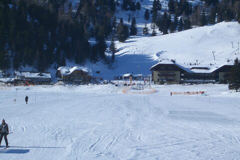
The Carinthian side from Ebene Reichenau is the canonical and most-ridden approach to the Turracher Höhe, climbing the B95 Turracher Straße from around 1,100 m to the 1,795 m col over roughly 8 km. The average gradient is close to 9.5%, but the difficulty lies in the middle ramps, which include a sustained section near 22-23%. This stretch was for years one of the steepest paved through-roads in Europe, reaching up to 34% before the road was rebuilt and eased to a maximum of about 23%. The pass sits in the Nock Mountains of the Gurktal Alps on the border between Carinthia and Styria.
Turracher Höhe
1795 m · Austria
Road B95 (Turracher Straße)
Open on the map →The side
| From | Length | Gain | Avg | Max | Cat |
|---|---|---|---|---|---|
| Ebene Reichenau | 8.2 km | +739 m | 9% | ≈17.4% | 1 |
From Ebene Reichenau
Category 1≈1 hairpin bendsfaces S
0–4%4–7%7–10%10–12%12%+