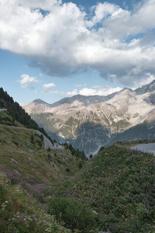
The Stelvio Pass is a mountain pass in northern Italy on the border with Switzerland, and is the highest paved mountain pass in the Eastern Alps. The original road was built in 1820-25 by the Austrian Empire under engineer Carlo Donegani to connect the Valtellina with the Vinschgau valley; it is traversed by the Strada Statale 38, with 48 hairpin turns on the 28 km northern side and 34 on the southern side. The Giro d'Italia first crossed the pass in 1953, and in 1965 it was designated the Cima Coppi, the highest point of that edition of the race.
Passo dello Stelvio
2758 m · Italy
Also: Col du Stelvio · Passo dello Stelvio - Stilfser Joch · Stilfser Joch
Usually open late May–early NovemberRoad SS38
Open on the map →The 3 sides
| From | Length | Gain | Avg | Max | Cat |
|---|---|---|---|---|---|
| Prato | 23.7 km | +1824 m | 7.7% | ≈10.6% | HC |
| Bormio | 19.6 km | +1460 m | 7.5% | ≈12.2% | HC |
| Umbrail | 16 km | +1380 m | 8.6% | ≈12.4% | HC |
From Prato
Hors catégorie48 hairpin bendsfaces NE
From Bormio
Hors catégorie≈34 hairpin bendsfaces SW
From Umbrail
Hors catégorie≈34 hairpin bendsfaces N
0–4%4–7%7–10%10–12%12%+
The climb
Race history
13× Giro d'Italia · 4 summit finishes · 1953–2020