Le Semnoz (Crêt de Châtillon) above Lake Annecy — a genuine HC at ~9.4%, and the decisive summit finish of stage 20 of the 2013 Tour de France (Quintana).
Panoramic Bauges terminus.
1699 m · France
Also: Crêt de Châtillon
Le Semnoz is a 1699 m road climb in France with 2 sides. From Sevrier: 18.3 km at an average of 6.7%, climbing 1221 m; the steepest 500 m is about 11.2%. From Quintal: 11 km at an average of 8.4%, climbing 924 m; the steepest 500 m is about 12.4%.
| Km | From | To | Grade |
|---|---|---|---|
| 0–1 | 746 m | 808 m | 6.2% |
| 1–2 | 808 m | 898 m | 9.0% |
| 2–3 | 898 m | 1001 m | 10.4% |
| 3–4 | 1001 m | 1068 m | 6.6% |
| 4–5 | 1068 m | 1158 m | 9.1% |
| 5–6 | 1158 m | 1244 m | 8.6% |
| 6–7 | 1244 m | 1334 m | 9.0% |
| 7–8 | 1334 m | 1419 m | 8.5% |
| 8–9 | 1419 m | 1497 m | 7.8% |
| 9–10 | 1497 m | 1583 m | 8.7% |
| 10–11 | 1583 m | 1666 m | 8.3% |
| 11–11.0 | 1666 m | 1669 m | 6.5% |
| Km | From | To | Grade |
|---|---|---|---|
| 0–1 | 448 m | 449 m | 0.1% |
| 1–2 | 449 m | 505 m | 5.6% |
| 2–3 | 505 m | 578 m | 7.3% |
| 3–4 | 578 m | 640 m | 6.3% |
| 4–5 | 640 m | 713 m | 7.3% |
| 5–6 | 713 m | 782 m | 6.9% |
| 6–7 | 782 m | 805 m | 2.2% |
| 7–8 | 805 m | 839 m | 3.4% |
| 8–9 | 839 m | 878 m | 3.9% |
| 9–10 | 878 m | 947 m | 6.9% |
| 10–11 | 947 m | 1037 m | 9.0% |
| 11–12 | 1037 m | 1129 m | 9.2% |
| 12–13 | 1129 m | 1221 m | 9.2% |
| 13–14 | 1221 m | 1299 m | 7.8% |
| 14–15 | 1299 m | 1378 m | 7.8% |
| 15–16 | 1378 m | 1479 m | 10.1% |
| 16–17 | 1479 m | 1560 m | 8.1% |
| 17–18 | 1560 m | 1650 m | 9.1% |
| 18–18.3 | 1650 m | 1668 m | 5.9% |
The number under each km is its average grade. Flags mark the steepest stretches of about 500 m; the steepest is the max on the sign. Heights come from an elevation model, so grades are approximate.
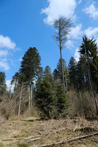
Le Semnoz (Crêt de Châtillon) above Lake Annecy — a genuine HC at ~9.4%, and the decisive summit finish of stage 20 of the 2013 Tour de France (Quintana).
Panoramic Bauges terminus.
1 passage, 2013
Up: from Quintalfinish up here