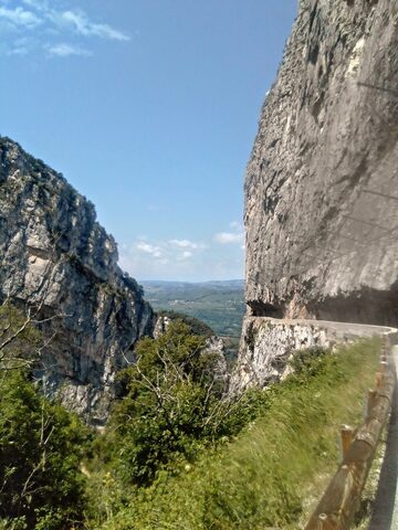
The Col de Romeyère sits at the western edge of the Vercors massif in Isère, linking the Isère valley to the gorges of the Bourne. The signature ascent climbs from the village of Saint-Gervais on the D35 through the Gorges des Écouges, a road carved into the cliff face and passing through an unlit 500 m tunnel for which lights are obligatory. It is the steeper, more rural of the two main approaches at roughly 13.4 km averaging 6.6%. The col featured in the Tour de France on three occasions: 1954, 1959 and 1985.
Col de Romeyère
1074 m · France
Road D35
Open on the map →The side
| From | Length | Gain | Avg | Max | Cat |
|---|---|---|---|---|---|
| Saint-Gervais | 12.1 km | +858 m | 7.1% | ≈13.7% | HC |
From Saint-Gervais
Hors catégorie≈4 hairpin bendsfaces N
0–4%4–7%7–10%10–12%12%+
The climb
Race history
3× Tour de France · 1954–1985