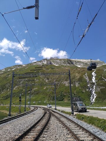
The Oberalppass (2044 m) links Andermatt in Uri with the Surselva valley in Graubünden, on Hauptstrasse 19. From the west the climb starts in Andermatt and runs roughly 10.7 km at an average of about 5.7%, the steepest pitches near 7% in the first kilometres before easing on the upper half. The road shares the slope with the Matterhorn Gotthard Bahn, the metre-gauge line carrying the Glacier Express over the col, so trains and cyclists climb side by side to the pass. The summit, with its lake and the railway station, is the high point between the Reuss and Rhine watersheds; the road is closed in winter.
Oberalppass
2044 m · Switzerland
Also: Col de l'Oberalp
Road Hauptstrasse 19
Open on the map →The side
| From | Length | Gain | Avg | Max | Cat |
|---|---|---|---|---|---|
| Andermatt | 10.7 km | +601 m | 5.6% | ≈8.6% | 2 |
From Andermatt
Category 2≈4 hairpin bendsfaces SW
0–4%4–7%7–10%10–12%12%+
The climb
Race history
16× Tour de Suisse · 1933–2023