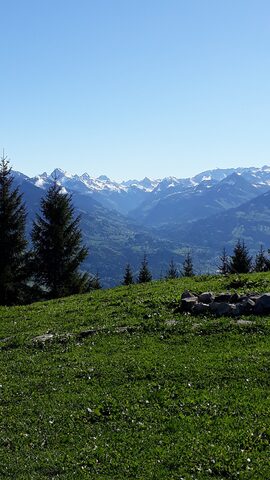
The Furkajoch is a mountain pass in Vorarlberg, Austria, connecting the Frutz valley near Laterns with the Bregenzerwald near Damüls. The canonical cycling ascent climbs the west side from Rankweil up the Laternser Straße (L51) through the Laterns valley, gaining about 1259 m over roughly 22 km at an average of around 5.7%. The road was built up as a goods road between 1963 and 1966 and asphalted in 1970; it is closed in winter and typically reopens around Whitsun. The gradient is uneven, with steeper pitches in the lower section and again near the top after an easier middle stretch.
Furkajoch
1758 m · Austria
Road L51 (Laternser Straße)
Open on the map →The side
| From | Length | Gain | Avg | Max | Cat |
|---|---|---|---|---|---|
| Rankweil | 19.5 km | +1264 m | 6.5% | ≈15.7% | HC |
From Rankweil
Hors catégorie≈8 hairpin bendsfaces W
0–4%4–7%7–10%10–12%12%+