The eastern climb from Saint-Sauveur-sur-Tinée is the long, classic side of the Couillole, rising about 1,170 m over roughly 16 km on the D30 at an average of 7.3%. The road leaves the Tinée valley and climbs steadily through the villages of Roure and Roubion before topping out at 1,678 m. The pass links the Tinée valley in the east with the Cians gorges in the west and is open roughly six to seven months of the year. It has featured in professional racing, including Paris-Nice and the Tour de France.
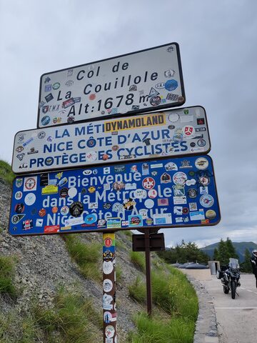
Col de la Couillole
1678 m · France
Road D30
Open on the map →The side
| From | Length | Gain | Avg | Max | Cat |
|---|---|---|---|---|---|
| Saint Sauveur Sur Tinee | 15.8 km | +1171 m | 7.4% | ≈11.1% | HC |
From Saint Sauveur Sur Tinee
Hors catégorie≈18 hairpin bendsfaces E
0–4%4–7%7–10%10–12%12%+
The climb
Race history
3× Tour de France · 1 summit finish · 1973–2024