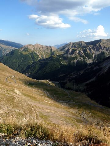
Cime de la Bonette is a mountain (2,860 m) in the French Alps, within the Mercantour National Park on the border of the Alpes-Maritimes and Alpes-de-Haute-Provence departments, near the Italian border. Its summit is encircled by a road branching from the Col de la Bonette; the col is described as the second highest paved through route in the Alps and reaches 2,802 m. The summit is the highest point ever reached by the Tour de France.
Cime de la Bonette
2802 m · France
Also: Col de la Cime de la Bonette
Usually open June–October
Open on the map →The side
| From | Length | Gain | Avg | Max | Cat |
|---|---|---|---|---|---|
| Jausiers | 22.4 km | +1568 m | 7% | ≈12.2% | HC |
From Jausiers
Hors catégorie≈27 hairpin bendsfaces NW
0–4%4–7%7–10%10–12%12%+
The climb
Race history
5× Tour de France · 1962–2024