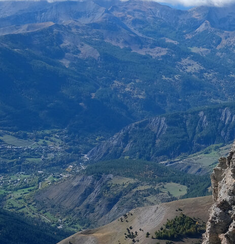
The north climb to the Col de la Cayolle leaves Barcelonnette on the D902 and follows the river up through the Gorges du Bachelard, a narrow rock cleft where the single-lane road crosses and recrosses the torrent on small bridges. It is a long ascent of about 29 km but rarely steep, averaging close to 4 percent, with the gradient sharpening over the final kilometres above the hamlet of Bayasse as the road climbs the open ridge in hairpins to the pass at 2326 m. The col lies on the Route des Grandes Alpes and the boundary of the Parc National du Mercantour, and the road is closed by snow from roughly October to May.
Col de la Cayolle
2326 m · France
Closed in winter; usually open June–OctoberRoad D902
Open on the map →The side
| From | Length | Gain | Avg | Max | Cat |
|---|---|---|---|---|---|
| Barcelonnette | 28.1 km | +1205 m | 4.3% | ≈9.7% | HC |
From Barcelonnette
Hors catégorie≈13 hairpin bendsfaces NW
0–4%4–7%7–10%10–12%12%+
The climb
Race history
3× Tour de France · 1950–1973